7 Printable Blank Maps for Coloring

Blank maps with outlines of countries, continents, and states
Do you want to teach a geography class using free and printable blank maps?
Because we have 7 empty maps with outlines of states, countries, and continents to help you get started. How can you use them?
Like all activities on All ESL, everything is 100% free to use for teaching.
There’s no need to ask for permission to use it in your classroom.
Please, go right ahead.
1. Continents Blank Map

For all 7 continents, add a color for each one. Fill in the legend too by matching the continent with the color.

For your reference, this continents map is the answer key for each continent. The legend has a unique color matching the map with labels.
2. Blank US Map
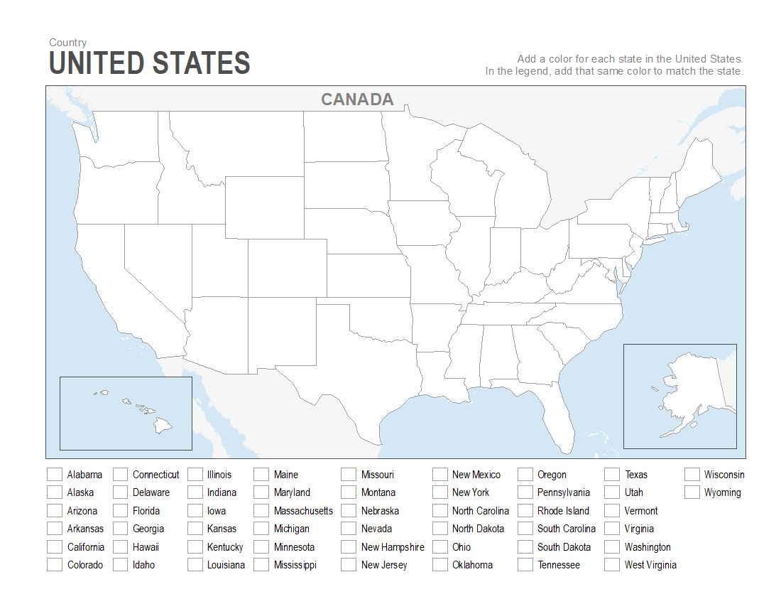
For all 50 US states, add a color for each state in this blank US map. In the legend, match the state with the color you add in the empty map.
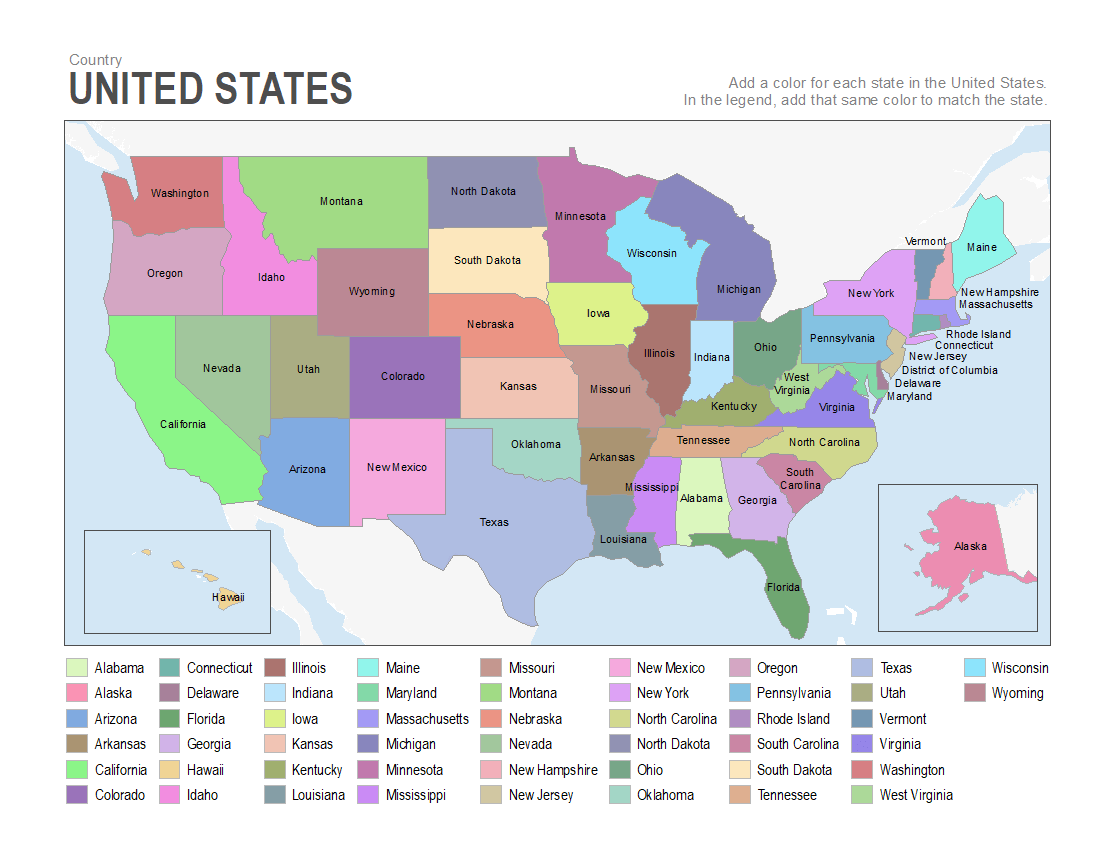
For your reference, this US map is the answer key. Each continent has a label and a unique color in the legend and map.
3. Blank Europe Map

Add color for each country in this blank Europe map. In the legend, match the color with the color you add in the empty map.
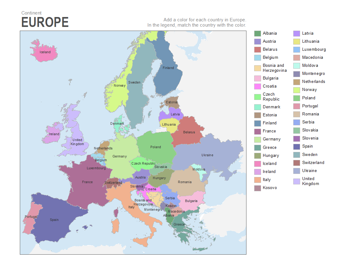
For your reference, this Europe map is the answer key. Each country has a label and a unique color in the legend and map.
4. Blank Asia Map
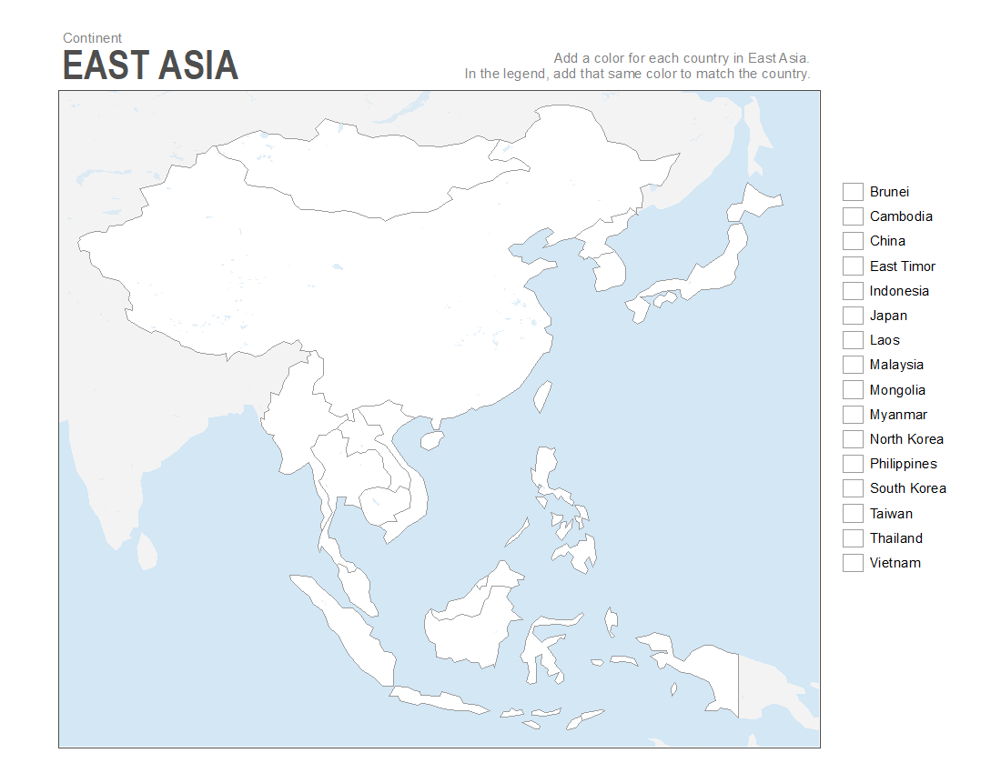
Add color for each country in this blank Asia map. In the legend, match the color with the color you add in the empty map.
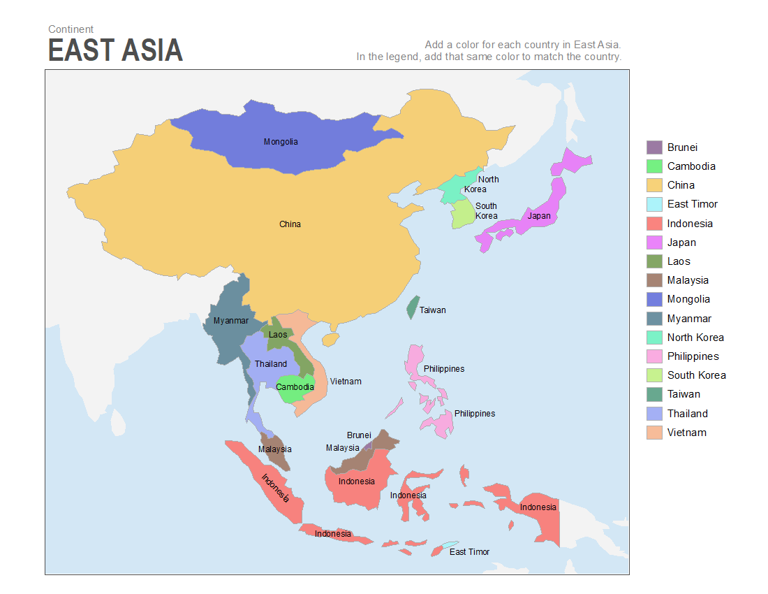
For your reference, this Europe map is the answer key. Each country has a label and a unique color in the legend and map.
5. Blank South America Map

Add color for each country in this blank South America map. In the legend, match the color with the color you add in the empty map.

There are 12 countries on this South America map. Each country has a label and a unique color in the legend and map.
6. Blank Africa Map

Add color for each country in this blank Africa map. In the legend, match the color with the color you add in the empty map.
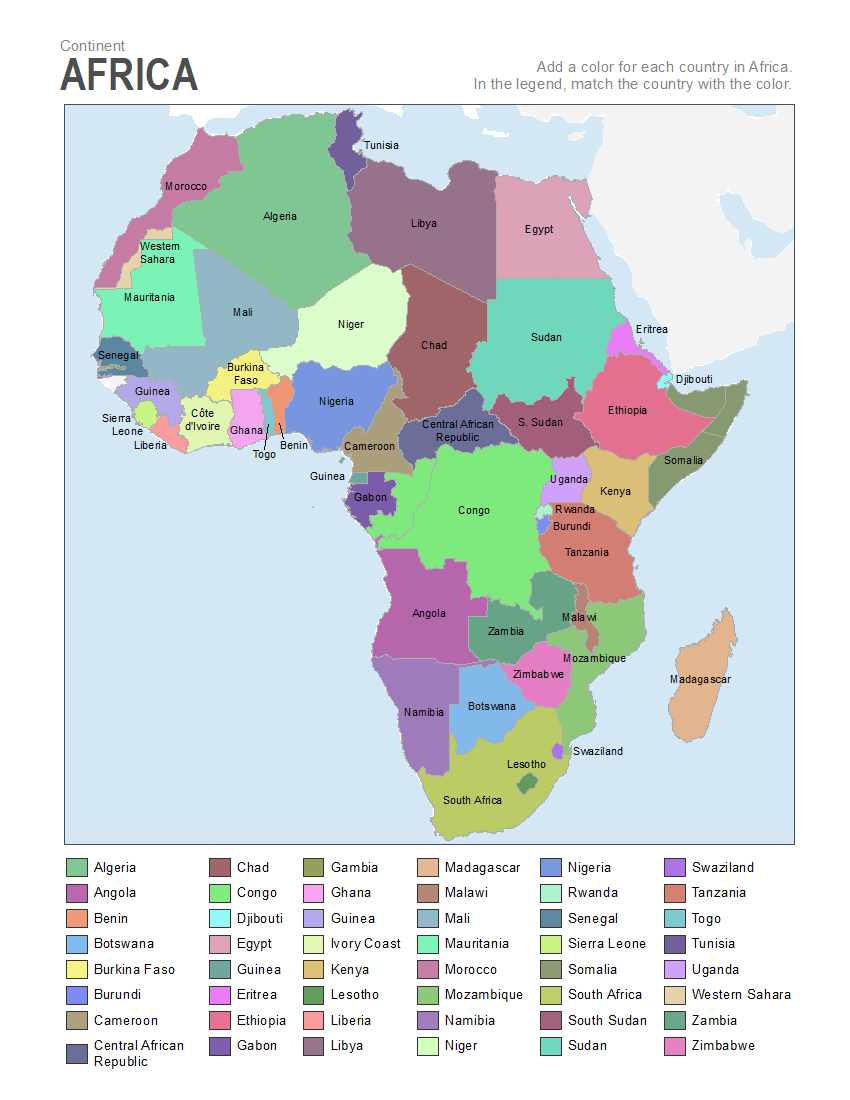
There are 54 countries on this blank Africa map. Each country has a label and a unique color in the legend and map.
7. Blank Middle East Map
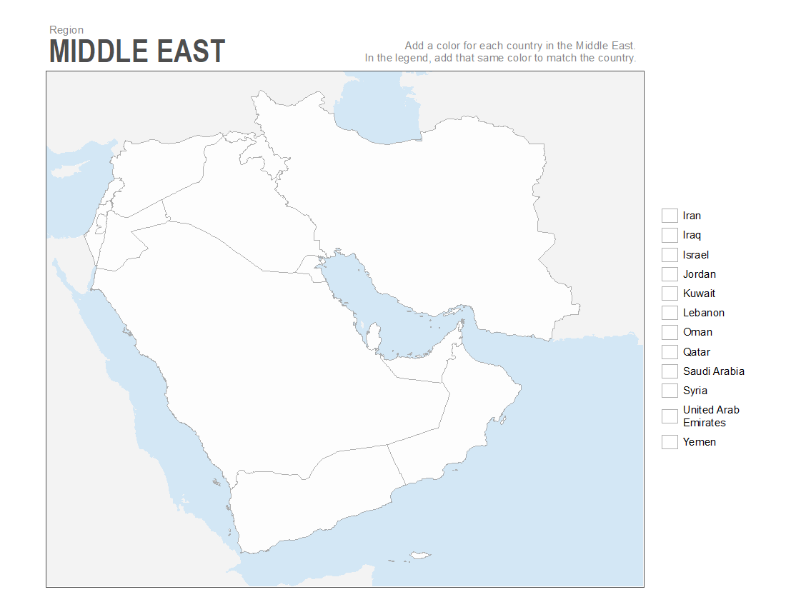
Add color for each country in this blank map of the Middle East. In the legend, match the color with the color you add in the empty map.
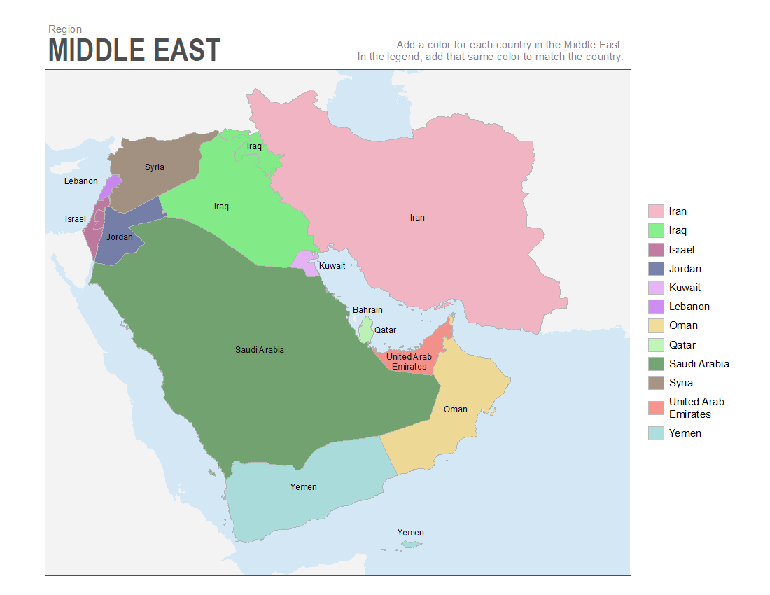
For reference, we have identified each country with a label and a unique color in this Middle East map.
Printable Maps for Geography Class
Geography has always been one of my favorite subjects to teach.
From states to countries to continents, these printable blank maps will sharpen your student’s attention to detail. While coloring continental boundaries are easy, US states are quite challenging (for geography teachers as well).
How do you use these printable maps?
- First, beginner and early age classes can use these blank, printable maps as coloring sheets. For each country, state and continent, this can help them get familiar with the world.
- Secondly, students can color each state, country, and continent and match the color in the legend. Surprisingly, this little twist can add a big challenge. And the best part is that it’s challenging enough to learn each boundary.
First, we have a printable map for the globe and they have to color in continents. Next, you can download these blank maps for continents like Europe, South America, and Asia where they have to color in each country. Finally, there is a blank US map where students can identify each state.
No matter which part of the world you are from, these blank maps are free to download and open to using for any purpose.
If you have any suggestions for any more printable map worksheets, add your comments below.
These are great. Can you do one for the Pacific islands and Australasia?
The map of the USA is inaccurate. It does not show the state of Michigan properly.
Yes, you’re right. It should be split into two pieces with the mitten as one…
Can you do a wider one of Asia? There is no map with Turkey represented clearly.
Thank you! This was very generous of you. It’s very hard to find free maps for teaching.
Do you have a blank map for North America that contains Central America?
Do you have a map for West Asia?
Thank you so much! Prepping for summer school and this has been so helpful!
Thank you for the maps. There is a mistake on “Continents Blank Map”, it list Australia as one of 7 continents… Australia is obviously a country part of Oceania continent and it’s a common mistake to list it as a continent.
Well Australia has always been a continent as long as I’ve been alive. Now it seems to be also know as Zealandia, but if you do a search of Australia you will find it is indeed a continent.
Ya, Oceania.
Hi, what is the scale of the world map
Thanks for the free maps that took days/hours to create… if they were for sale, pinpoint accuracy would be required.
Please know that most using these materials are GRATEFUL for them
Yes, these are not entirely accurate, and the feedback is appreciated so that we know what updates to make on our own. However, these maps, and many more resources on this website, are totally FREE. Someone took the time to painstakingly color each country and label it so you don’t have to. Aside from purchasing maps from a professional publisher, I see nothing else like this online for FREE.
We are lucky to have these FREE resources. Some appreciation for the copious work done by this group of teachers would be appropriate, eh?
Many thanks for the great start! I am SO glad I didn’t have to make these maps myself.
Thanks, Roxanne! We very much appreciate the feedback.
Hi, Where is the Caspian sea guys?
There is no full map of Asia continent… India, Russia, Kazakhastan, Afghanistan etc are missing.
This is so helpful…Thank you so much
Thank you very much for all this work, it has saved a lot of work to some parents like me, but I couldn’t find some countries.
Can anyone tell me where can I get the maps of the missing countries? There’s neither complete Asia nor complete North and Central America.
Thank you very much.
Obviously, complete and current maps of the entire world ? is preferable but these are a decent start for students in early grades and for US focused teaching. One hopes that you will be able to get correct and complete world wide coverage in the near future.
Thank you. These are great. The only negative is that there is no map with Central America.
Thank you for sharing these!!!
Thank you for sharing these nice materials!!
Thank you! I love geography and want to use these to teach my son. While I’m not home schooling him, I like to do fun educational things with him to help fill everything in.
I would like to see maps to color showing the division of the country during civil war, a world map with the each country involved,and maybe maps showing how places have changed, such as Russia, how it was and now is. I know I’d enjoy it and I think others may also. Opinions on these are appreciated. I’m planning on trying my hand at doing some of them with extra blanks world and US maps.
South America: The Falkland Islands are not a country. They are a territory of the United Kingdom. The UK and Argentina fought a whole war about that.
And on the European map, you omitted Liechtenstein, Monaco, Malta, Andorra, San Marino, and the Papal States (Vatican). Belgium inexplicable has a boundary through the middle of it, and Bosnia and Hertzegovina appears as several separate countries. If you care.
The Africa map is inaccurate. It omits the following countries: Guinea-Bissau, Sao Tome and Principe, Cormoros, Seychelles, and Mauritius. There is one entry for “Congo” when in fact there are both the Democratic Republic of the Congo and the Republic of the Congo. There are two entries for “Guinea” when there are actually Guinea and Equitorial Guinea. (Guinea, Equatorial Guinea, and Guinea-Bissau…three distinct countries.) The Ivory Coast is no longer translated but is officially known in all languages as Cote d’Ivoire. The boundary for Western Sahara is inaccurate, even allowing for the unofficial status of this boundary. Finally, it appears that the northern portion of Somalia is a distinct country…there is a boundary there in error.
Love this site but where is map of Australia?
What?! No map of Canada?
And no map of central America…:(
Thank you so much for these. I homeschool my girls, really desiring to give them even more and now I am able to. I have searched everywhere for downloadable maps, exactly as you are providing, and until today, I have found nothing. I really appreciate this, and you.
Blessings,
Amanda Pearson
Me too! Homeschooling Mama and I have never come across such ideal maps for teaching my children (and myself!)
Thank you so much for providing these. We appreciate you.