Free US Maps: Geography Resource
We’d like to point you to some free US maps we found for the United States that you can freely use in your classrooms or for any purpose. (public domain)
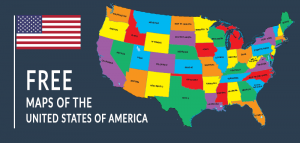
We’d like to point you to some free US maps we found for the United States that you can freely use in your classrooms or for any purpose. (public domain)
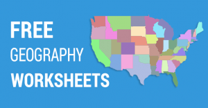
If you love geography, then you’ll love this free geography worksheets. Geography gives an overarching perspective of the world.
Do you want to teach a geography class using free and printable blank maps? Because we have 7 empty maps to help you get started.
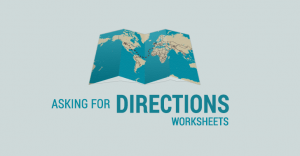
When you’re traveling and you need to get somewhere, you will probably have to ask for directions how to get there. Can you listen and give directions?
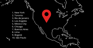
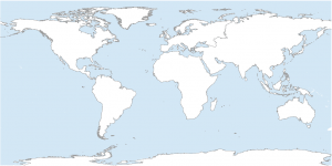
Do you know where the largest cities are in the Americas? Write the number for each city in the map. Similar to pin the tail on the donkey.
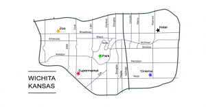
Asking for directions. In this map, you’re lost in Wichita Kansas and you practice turning left, right, forward and backwards.
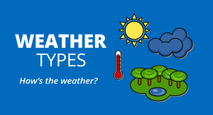
In this weather worksheet, students learn weather types for kids. The weather can be sunny, rainy, hazy, snowy, hail, cold, hot, etc.
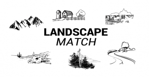
In this ecosystems worksheet, you match the word with each type of landscape. From deserts to tundras, students learn the types of landscapes and ecozones.
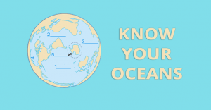
We now recognize there are 5 oceans in the world. Actually, we only used to identify 4 oceans in the world. Can you list each ocean in the ocean worksheet below?
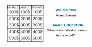
Unlike your typical quiz where you answer questions, students have to create superlative questions. For example, when the answer is “Mount Everest”, the question is “What is the tallest mountain in the world?”