Free US Maps: Geography Resource

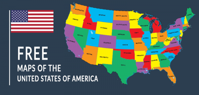
Today, we’d like to point you to some free US maps we found for the United States.
You are permitted to use any of these maps freely for your classrooms or any purpose (public domain). Take a look below:
Alternatively, these maps below show separated maps of the 50 states of America.
Each state has map showing cities & roads, counties, landmarks and lakes/rivers. Select a state to view the map:
Montana Map
Nebraska Map
Nevada Map
New Hampshire Map
New Jersey Map
New Mexico Map
New York Map
North Carolina Map
North Dakota Map
Ohio Map
Oklahoma Map
Oregon Map
Pennsylvania Map
Rhode Island Map
South Carolina Map
South Dakota Map
Tennessee Map
Texas Map
Utah Map
Vermont Map
Virginia Map
Washington Map
West Virginia Map
Wisconsin Map
Wyoming Map
We also have a couple of great resources at All ESL that we’d like to recommend including our free printable maps and geography worksheets.

Geography Worksheets
Asking Directions
Capitals Crossword
Continents Spelling
Country Outlines
Ecosystem Types
Know Your Oceans
Metropolis Markdown
Weather Types
World Quiz